About the plan
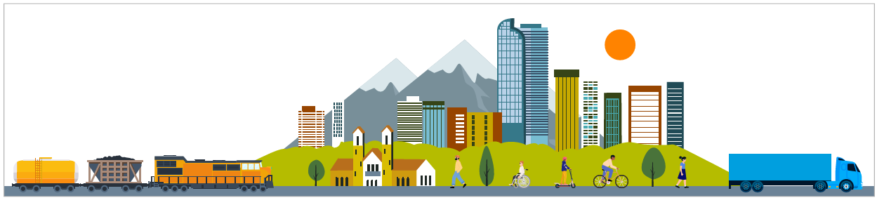
DRCOG is currently updating its Regional Multimodal Freight Plan, which will guide freight planning and infrastructure investment in the Denver metro area. Planning for safe, efficient and sustainable movement of freight and goods throughout the Denver region is an essential part of the transportation planning process.
Working together with local communities, state and federal partners, freight industries, and other key stakeholders, DRCOG is developing an updated plan that:
- Provides data on how goods movement supports local economies.
- Describes the state of freight needs in the region and forecasts future priorities.
- Highlights freight planning successes and best practices.
- Identifies potential investment areas for freight planning and infrastructure.
Tier III roadway recommendations
As part of DRCOG's Multimodal Freight Plan Update, the agency compiles local freight-designated roadways (called Tier III routes) in the Denver region. Please submit your feedback on the interactive map shown below on the draft Tier III roadways by following these instructions:
- Review the map:
Open the interactive map and use the zoom controls in the upper right-hand corner to explore local areas. Note the following color coding for roadways:
- Red: Tier III roadways (local freight-designated routes under review).
- Blue: Tier II roadways designated by the FHWA (for reference).
- Toggle map layers: Toggle both roadway layers by selecting each in the upper left-hand corner to view Tier II and Tier III routes individually or together.
- Add your feedback marker:
Click "Add Marker" in the lower right-hand corner and select the appropriate marker color based on your feedback:
- Green marker: Recommend adding a Tier III roadway not currently included in the draft.
- Yellow marker: Recommend removing a Tier III roadway currently included in the draft.
- Place your marker: Drag and drop your selected marker onto the relevant roadway location on the map.
Project deliverables
-
Timeline item 1 - active
Existing conditions report
A data-driven snapshot of today’s freight system (modes, corridors, volumes, bottlenecks, safety hot spots, and community contexts) to ground the plan’s recommendations. The report establishes baseline conditions and key needs across the region.
-
Timeline item 2 - incomplete
Land use & freight policy report
An inventory and analysis of local codes, zoning, industrial land supply, truck routes, curb/parking rules, and permitting practices.
-
Timeline item 3 - incomplete
Emerging freight trends and technology report
An assessment of market and technology shifts (e-commerce, automation, zero-emission vehicles, data platforms).
-
Timeline item 4 - incomplete
Freight performance measures
Create a set of measures designed to communicate freight performance to external partners and internally improve the planning, implementation, and accountability of freight planning within DRCOG.
-
Timeline item 5 - incomplete
Freight project prioritization framework
Develop a framework that aligns with the freight plan's established vision, goals, and objectives for evaluating and prioritizing freight-related projects. It aligns with DRCOG's programming approach to guide investment decisions.
-
Timeline item 6 - incomplete
Interactive mapping tool
A public-facing, mobile-friendly map that visualizes key freight datasets (corridors, bottlenecks, industrial land, safety, emissions/exposure, equity indices, planned projects) with filtering, overlay, and compare functions.
-
Timeline item 7 - incomplete
Stakeholder engagement summary
A transparent record of who we engaged, what we heard, and how input shaped the plan. It synthesizes themes from agencies, industry, community groups, and the public, with clear links to decisions and next steps.
-
Timeline item 8 - incomplete
Final draft plan
The integrated blueprint of strategies, priority projects, policies, and an implementation roadmap with funding and governance considerations. Published for public review and comment prior to adoption.


